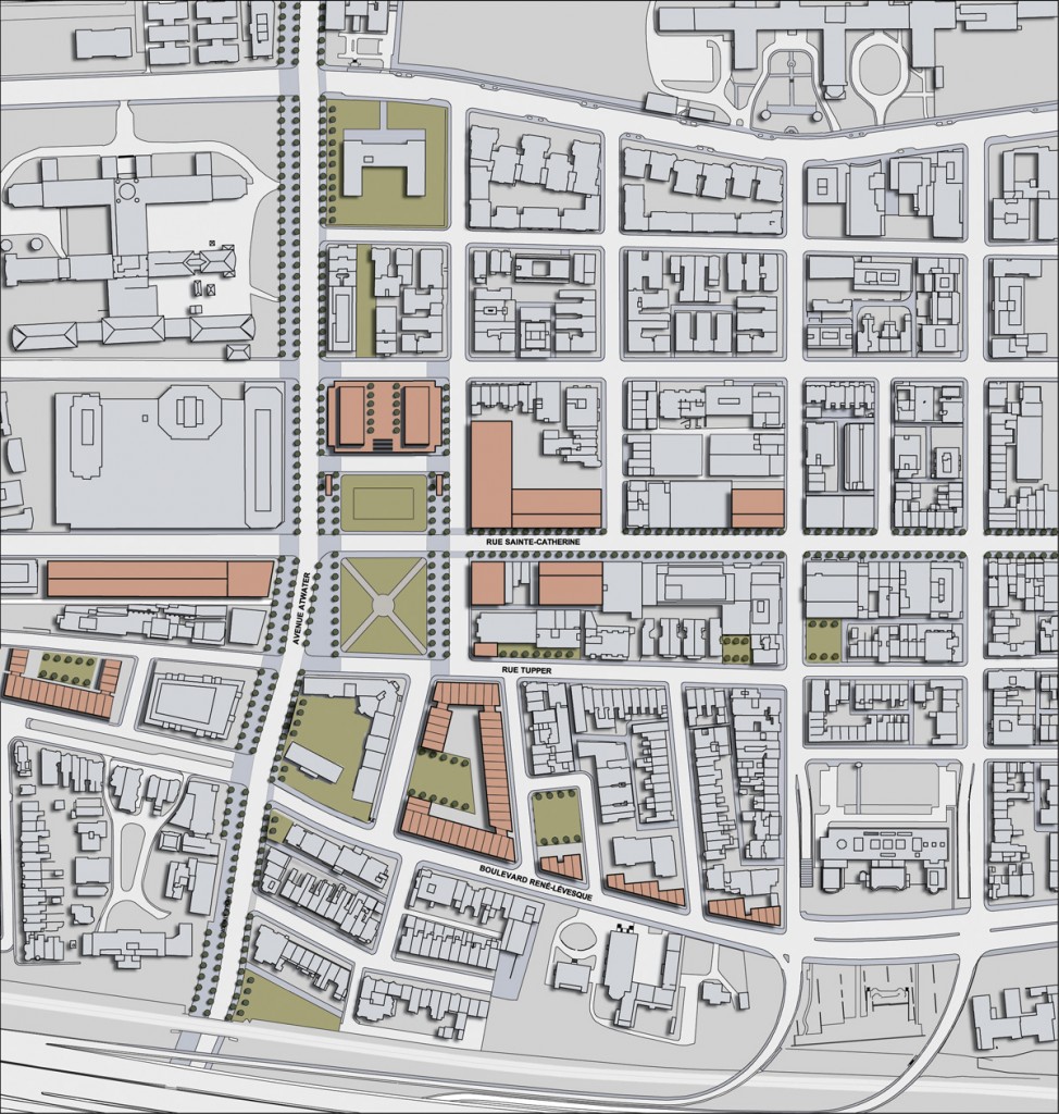


Centered on Cabot Square, the western sector of downtown Montreal is a district in transition. The economic, social, and physical decline of the neighbourhood is reflected in a disjointed urban fabric, a neglected public domain and abandoned private properties.
The identity of urban environments cannot be applied from without, but rather, must be revealed from within. Every city begins on a natural site with unique geographic qualities. Transforming these sites into urban environments is the making of landscape: inscribed in-situ, landscape is the accumulation through time of all things and their past configurations. Cities that base their identity on specific topographic conditions conserve and enhance their territorial memory, remaining connected through time to their history and culture. Disjointed urban sectors like the Cabot Square district are places that have lost their privileged connection to territorial memory.
Montreal’s identity is marked by the contrast between the mountain – natural, flowing, organic – and the city – man-made, rational, and ordered; and the focal points of downtown are poles of convergence between mountain and city. The green corridor of McGill College Avenue – a fragment of the mountain which flows into the city – meets the perpendicular axis of Sainte Catherine Street at Place Ville Marie. A similar node is created at Place des Arts by the crossing of Sainte Catherine Street with a green corridor connecting Mount Royal and Park Avenue.
Downtown has spread along the Sainte Catherine corridor beyond the limits of these two traditional poles. Emilie-Gamelin Square forms a new entryway to eastern downtown at the crossing of Sainte Catherine Street and a green corridor running up Berri Street. The revitalization of Cabot Square is an opportunity to create a similar gateway for the western sector of downtown.
Cabot Square is located on the western edge of the city-center plateau and marks the crossing of the Sainte Catherine corridor and a series of green spaces that flow down the mountain around Atwater Avenue. The city-center plateau is squeezed at Cabot Square by the proximity of the Saint Jacques Escarpment and the foot of Mount Royal. Taking this geographic condition as a point of departure, the revitalisation plan reinforces the connections of the square to these three adjacent territories – the mountain, the escarpment and the city-center plateau. This privileged relationship between landscape and development has shaped the identity of the neighbourhood since the Sulpicians first built here in the seventeenth century.
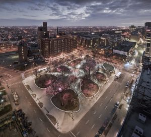
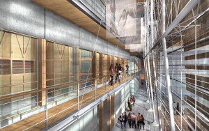
The project reinforces the green corridor that flows down the mountain on Atwater Avenue with free-standing pavilions, view corridors and open spaces. Extending this green corridor to the south and shifting Sainte Catherine’s urban axis to the north creates a new point of convergence directly related to the Atwater subway station. The Forum, a recycled arena, contradicts with this reading and the plan recommends its demolition. The removal of the Forum doubles the size of Cabot Square and resituates Sainte Catherine Street in the center of this revitalised civic space. A new tower located on the north of the square includes a multi-storey winter garden directly linked to the subway.